- Регистрация
- 27 Авг 2018
- Сообщения
- 37,819
- Реакции
- 545,086
- Тема Автор Вы автор данного материала? |
- #1

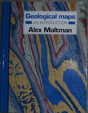
Geological maps remain a fundamental tool in earth science. They provide an essential link as geology continues to expand and diversify; computer methods are adding further to their power and versatility. Hence it is more important than ever that students of the Earth are familiar with the principles of working with geological maps. This book introduces geological maps in a clear, readable and practical way. Abstract and idealistic examples (so common in other treatments of the subject) have been avoided and almost all the illustrations used are taken from real maps and real situations around the world. This new edition has been substantially revised and provides worked solutions to the numerous map exercises. Extensive use of three dimensional diagrams and eight colour maps coupled with the up-to-date and lively text will ensure that this book remains the standard reference for students of earth science. New chapters on wider uses of geological maps, such as in environmental planning and in understanding the landscape around us, will also make the book indispensable for environmental scientists and geographers, and of interest to amateur geologists. Contents
* Some Fundamentals of Geological Maps
* The Nature of Geological Maps: The 'Ten Mile' Map of the UK and the 1:2500000 Map of the USA
* The Three-Dimensional Aspect: Structure Contours
* Measurements in Three-Dimensions: Strike and Dip, Formation Thickness and Depth
* Geological Cross Sections
* Visual Assessment of Outcrop Patterns: Horizontal and Dipping Formations
* Unconformities
* Folds
* Faults
* Igneous and Metamorphic Rocks: Mineral and Superficial Deposits
* Geological History from Maps
* Maps in Environmental Geology
* Wider Uses of Geological Maps: Understanding the Landscape
* The Heritage of Geological Maps
* The Production of Geological Maps
INFORMATION PAGE:
DOWNLOAD:


